We help you see subsurface risk before you cut, core, or trench: professional GPR, property-side utility mapping, and underground utility locating before you dig, plus concrete scanning and EV charger site-prep — insured, date-stamped deliverables. Serving nine counties from Lorain through Trumbull — see service area below.
Separately: fleet analytics, IRA documentation, and transition consulting live on our Fleet & consulting hub.
Utility clarity, slab targets, and charger site-prep — documented for your GC, AHJ, or insurer.
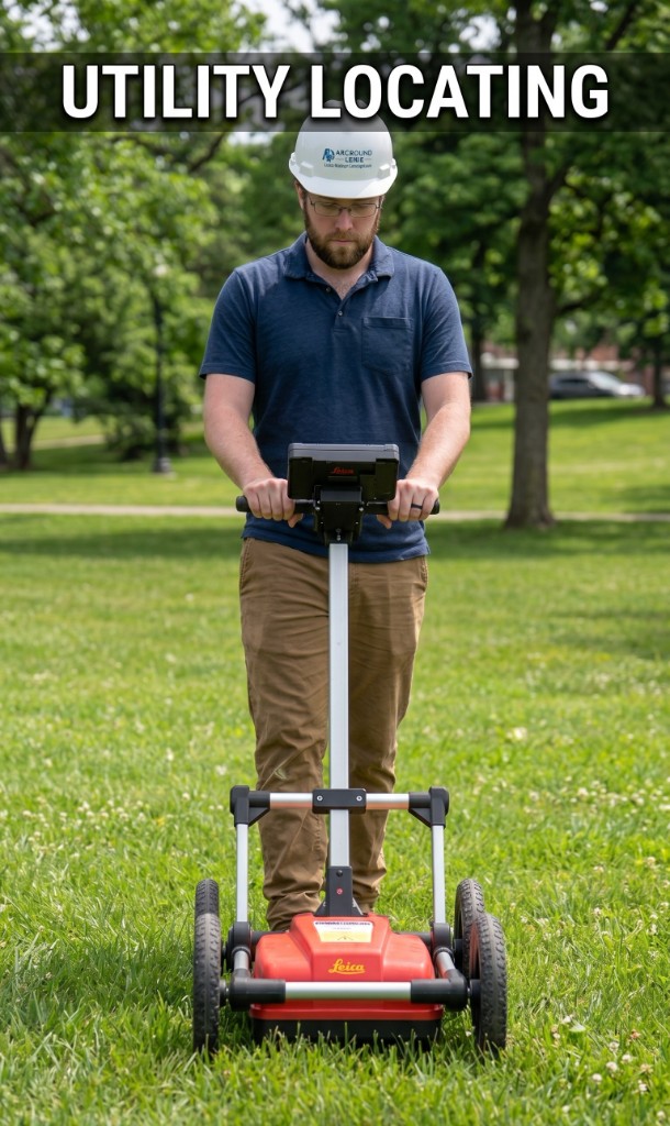
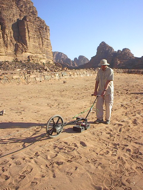
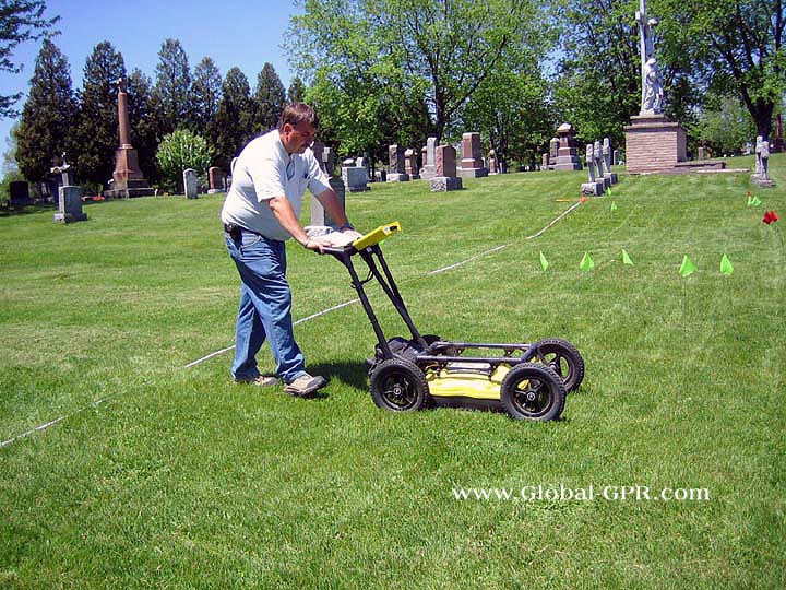
From private-side locates for lines and laterals that a routine 811 (“call before you dig”) ticket may not fully map on your site, to underground utility locating on active corridors, we pair GPR utility locating with clear field markings and PDF reports for GCs, municipalities, and facility teams across Northeast Ohio. Public locates are coordinated through the state’s Ohio Utilities Protection Service (OHIO811) where applicable.
Service area: Lorain, Medina, Cuyahoga, Lake, Geauga, Summit, Portage, Ashtabula, and Trumbull Counties — Greater Cleveland to Akron–Youngstown corridor. Mobilization and scheduling details are listed on each service page.
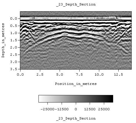
Utility locating rates & scopeImages are educational examples from Wikimedia Commons, not data from your site. Full credits in /images/gpr/ATTRIBUTION.txt.
Private utility locating, insured field work, PDF deliverables.
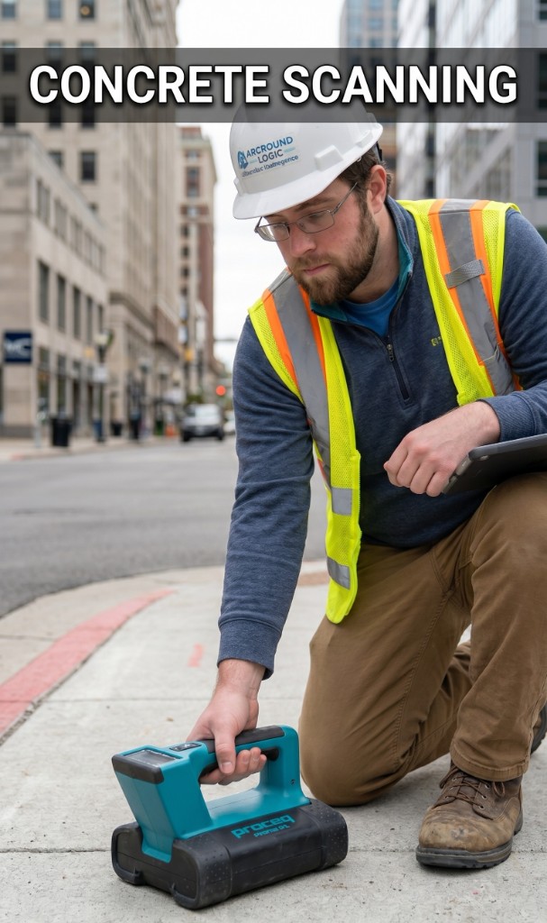
Concrete scanningRebar, PT cables, conduits before coring.
Private utilitiesPrivate and underground utility locating beyond routine 811 coverage — marking and reporting.
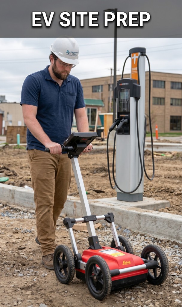
EV charger site-prepTrench paths, slab context for depot work.
Residential subsurface
The same principal you talk to shows up on site: utility locating, concrete scanning, and EV charger site-prep across Northeast Ohio — not stock photos.
Arcbound Logic is principal-led by Carter (founder & principal): one accountable contact for scoping, field marks, and deliverables—not a rotating roster on your site. Read how we work →
Clear deliverables
Marked utilities, slab context, and PDF reporting aligned to what we scoped—limitations stated up front and coordinated with 811 / OHIO811 where public utilities apply.
Northeast Ohio footprint
Nine counties from Lorain through Trumbull—mobilization and scheduling context on each GPR service page.
Insured field work
Professional subsurface locating and scanning with insurance and date-stamped documentation suitable for GCs, owners, and insurers.
Book GPR, utility locating, or concrete scanning for your Northeast Ohio site—or reach out with photos and a site address to scope from.